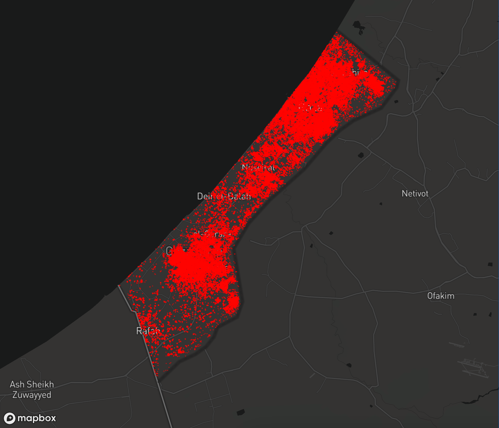
UNOSAT's satellite-based imagery on the Gaza Strip compared images from October 11, 2025, to various dates in 2023 and early 2024 to assess the damage as a result of Israel's ongoing genocide.

This map shows assessment data for the Gaza Strip. Click on a point to view details.
| Region | Destroyed | Severe | Moderate | Possible | Total |
|---|---|---|---|---|---|
| Khan Yunis | 32309 | 4479 | 8860 | 6238 | 51885 |
| Gaza | 32088 | 4448 | 8799 | 6195 | 51530 |
| North Gaza | 25813 | 3579 | 7079 | 4984 | 41454 |
| Rafah | 21986 | 3048 | 6029 | 4245 | 35307 |
| Deir Al-Balah | 11269 | 1562 | 3090 | 2176 | 18097 |
| Total | 123464 | 17116 | 33857 | 23836 | 198273 |
| Level | Destroyed | Severe damage | Damaged | Possibly damaged |
|---|---|---|---|---|
| Total | 123464 | 17116 | 33857 | 23836 |