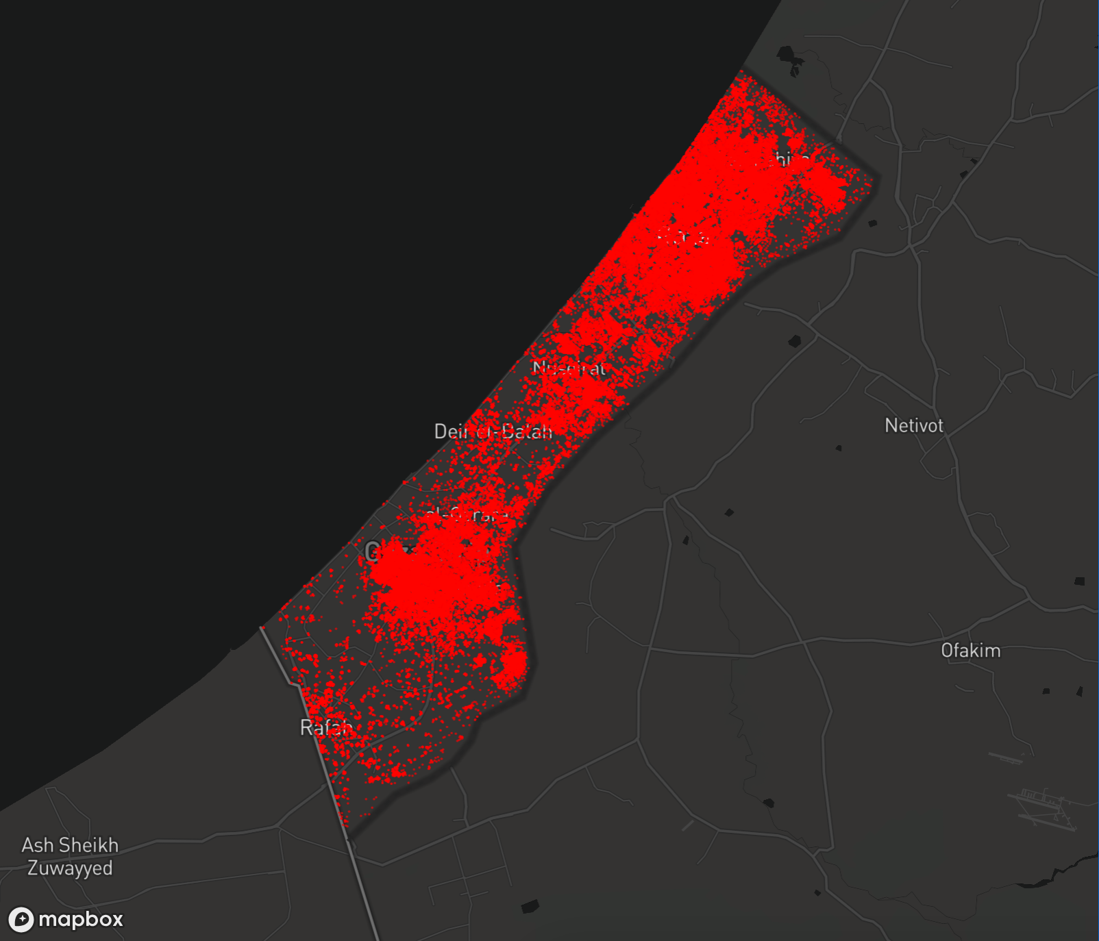
This map provides a detailed assessment of damage and destruction to structures within the Gaza Strip, based on Unosat satellite imagery collected over various dates, including July 6, 2024, and compared to previous images from May 1, 2023, to May 3, 2024.
The analysis by UNOSAT reveals that heavy Israeli bombardment destroyed some 46,223 structures and severely damaged another. 18,478 severely. The intentional destruction of Palestinian infrastructure by Israeli bulldozers and aerial assaults has moderately damaged another 55,954 and possibly another 35,754 — totaling 156,409 affected structures. This damage represents approximately 63% of the total structures in the Gaza Strip, with an estimated 215,137 housing units impacted. While the breadth of devastation is horrific and beyond imagination, it is well surpassed by the evils of the intention: An erasure of a people.

This map shows assessment data for the Gaza Strip. Click on a point to view details.
For map of May, 2024, click here.
| Region | Destroyed | Severe | Moderate | Possible | Total |
|---|---|---|---|---|---|
| Gaza | 13490 | 5393 | 16331 | 10435 | 45649 |
| Khan Yunis | 12029 | 4809 | 14562 | 9305 | 40704 |
| North Gaza | 10144 | 4055 | 12279 | 7846 | 34324 |
| Rafah | 5820 | 2327 | 7045 | 4502 | 19694 |
| Deir Al-Balah | 4740 | 1895 | 5737 | 3666 | 16038 |
| Total | 46223 | 18478 | 55954 | 35754 | 156409 |
| Level | Destroyed | Severe damage | Damaged | Possibly damaged |
|---|---|---|---|---|
| Total | 46223 | 18478 | 55954 | 35754 |